Photogrammetry and LiDAR
Drone photogrammetry and LiDAR scanning – Modern technologies in building inventory. We combine drone photogrammetry and LiDAR scanning to deliver precise and comprehensive spatial models.
Drone photogrammetry
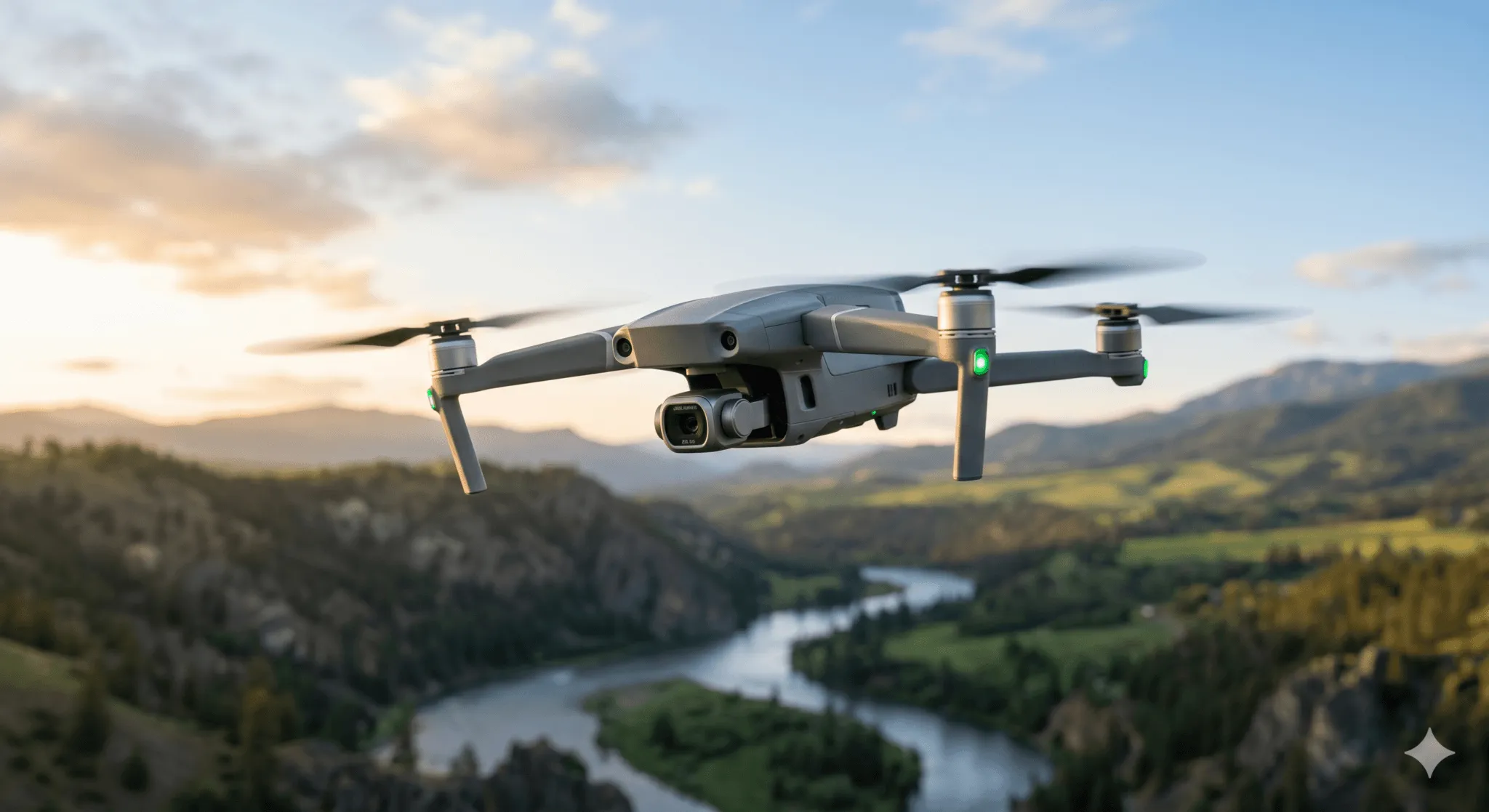
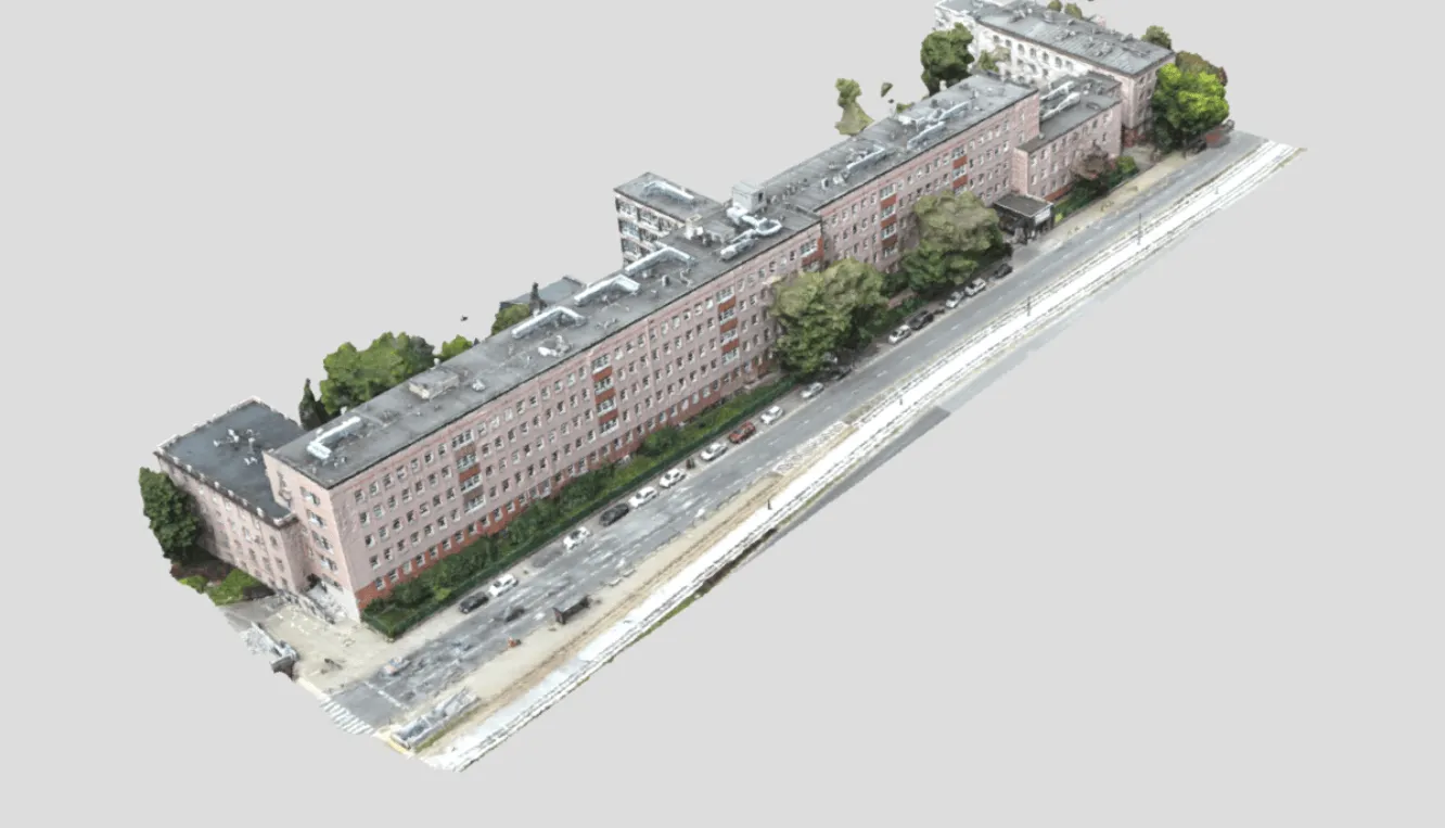
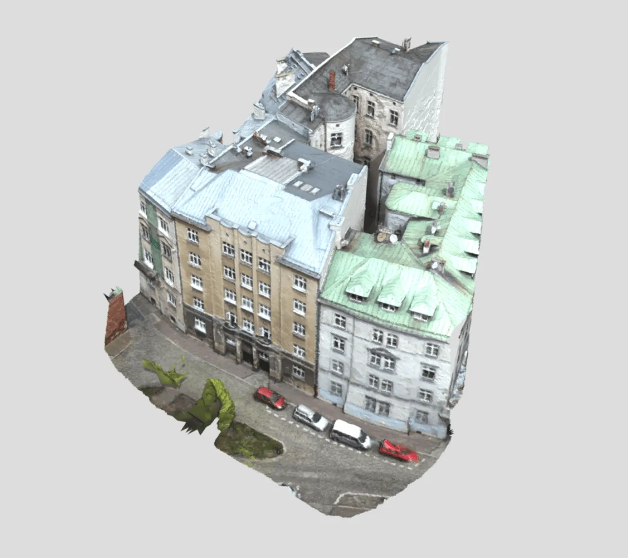
Our company specializes in advanced 3D building reality capture. Drone photogrammetry involves acquiring high-resolution aerial imagery with sub-centimeter Ground Sampling Distance (GSD) UAV Resolution Ground Sampling Distance (GSD) Spatial resolution in aerial photogrammetry representing the physical ground distance represented by a single image pixel (e.g. < 5 mm/px). , subsequently transformed into accurate true orthophotomaps Surveying & UAV Orthophotomap (True Ortho) A high-resolution, geometrically corrected aerial/elevation image with uniform scale and zero perspective distortion, aligned to coordinate grids. and digital 3D models.
Advantages of drone photogrammetry:
- High precision: Ability to capture even the smallest architectural details.
- Speed: Shorter execution time compared to traditional measurement methods.
- Hard-to-reach places: Drones reach areas where human access is limited.
- Safety: Minimizing risk for operators in hazardous industrial environments.
- Cost reduction: Cost-effective solution compared to classical scaffolding methods.
Applications:
- Creating 3D models of buildings and linear infrastructure
- Architectural and construction inventories
- Monitoring construction progress and earthwork volumes
- Assessing damage to buildings, roofs, and structures
- Documentation of monuments and cultural heritage
- Urban planning and spatial analysis
Combination with LiDAR technology
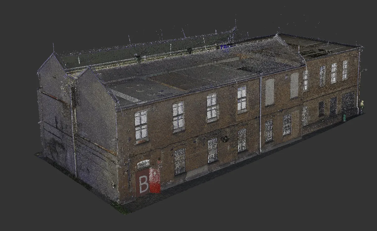
Photogrammetry perfectly complements LiDAR scans, which use laser pulses to create detailed point clouds, independent of lighting conditions. The integration of these two technologies allows us to obtain extremely precise and versatile spatial data, combining detailed drone texture with accurate LiDAR measurements, even in densely forested or hard-to-reach areas.
Thanks to this combination, we offer comprehensive and accurate measurement solutions that are used in construction, industry, agriculture, and real estate management.
Inventory and documentation
We carry out detailed inventories of buildings, engineering structures, bridges, tunnels, monuments, and other objects. Thanks to LiDAR technology and photogrammetry, we are able to quickly and accurately collect spatial data used to create digital 3D models and detailed technical documentation. Our studies support the entire construction process – from design, through modernization works, to monitoring the technical condition of existing facilities.
Advantages of using LiDAR and photogrammetry technologies:
Thanks to LiDAR and photogrammetry technologies, we obtain detailed measurements that reflect every element of the structure with incredible precision.
Advanced data collection methods allow for quick inventory even in hard-to-reach places.
By scanning remotely, we minimize the risks associated with working at heights or in dangerous conditions.
The collected data is the basis for creating precise 3D models and full technical documentation, including plans, cross-sections, and projections.
Our services are ideal for inventorying both new buildings and historic facilities, where precision and attention to detail are crucial.
Our company combines engineering knowledge with modern technologies, providing reliable solutions in the field of building inventory and documentation. Our studies support the implementation of construction, conservation, and modernization projects, helping you make the right decisions at every stage of the investment.