3D Scanning of construction objects
We perform 3D scanning of multi-surface buildings, rooms, monuments, tenement houses, facades, houses, and other construction objects using state-of-the-art terrestrial scanners. These allow us to obtain data in the form of point clouds depicting the object and create an accurate 3D model. The collected data allows for highly accurate pre-design analysis, provides data for design, or recreates a detail/object including the preparation of its 3D matrix or a mockup of the entire object. A major advantage is also reducing the time needed to prepare inventories, historical queries, or stucco details from several months to just a few days.
What do we do?
Our company, run by civil engineers, offers comprehensive 3D building scanning services, enabling the precise reproduction of entire objects and their finest architectural details. Thanks to advanced 3D scanning and photogrammetry technology, we provide accurate inventory sketches, technical documentation, digital models, and many other solutions supporting construction and design processes.
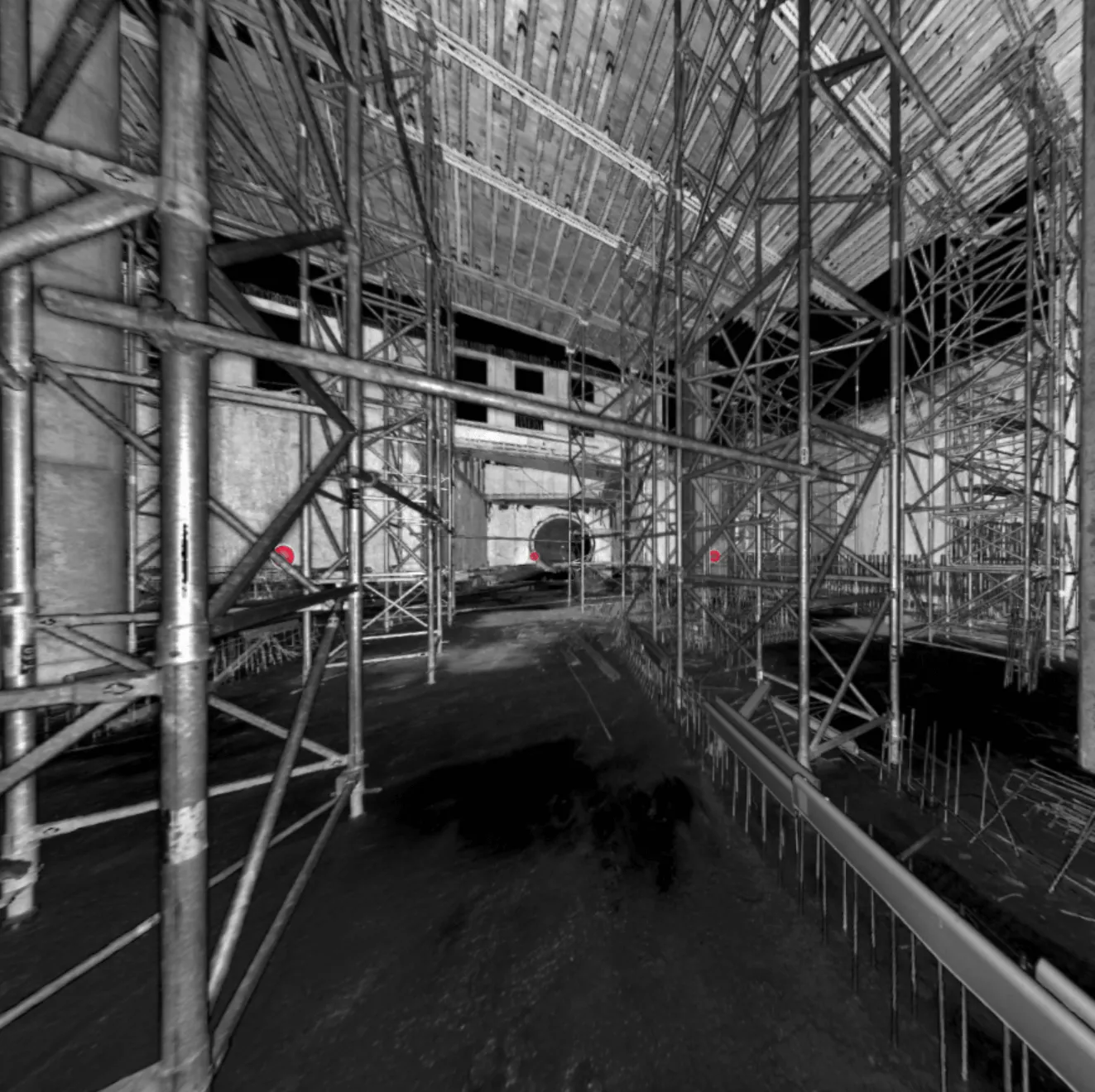
Advantages of scanning entire buildings
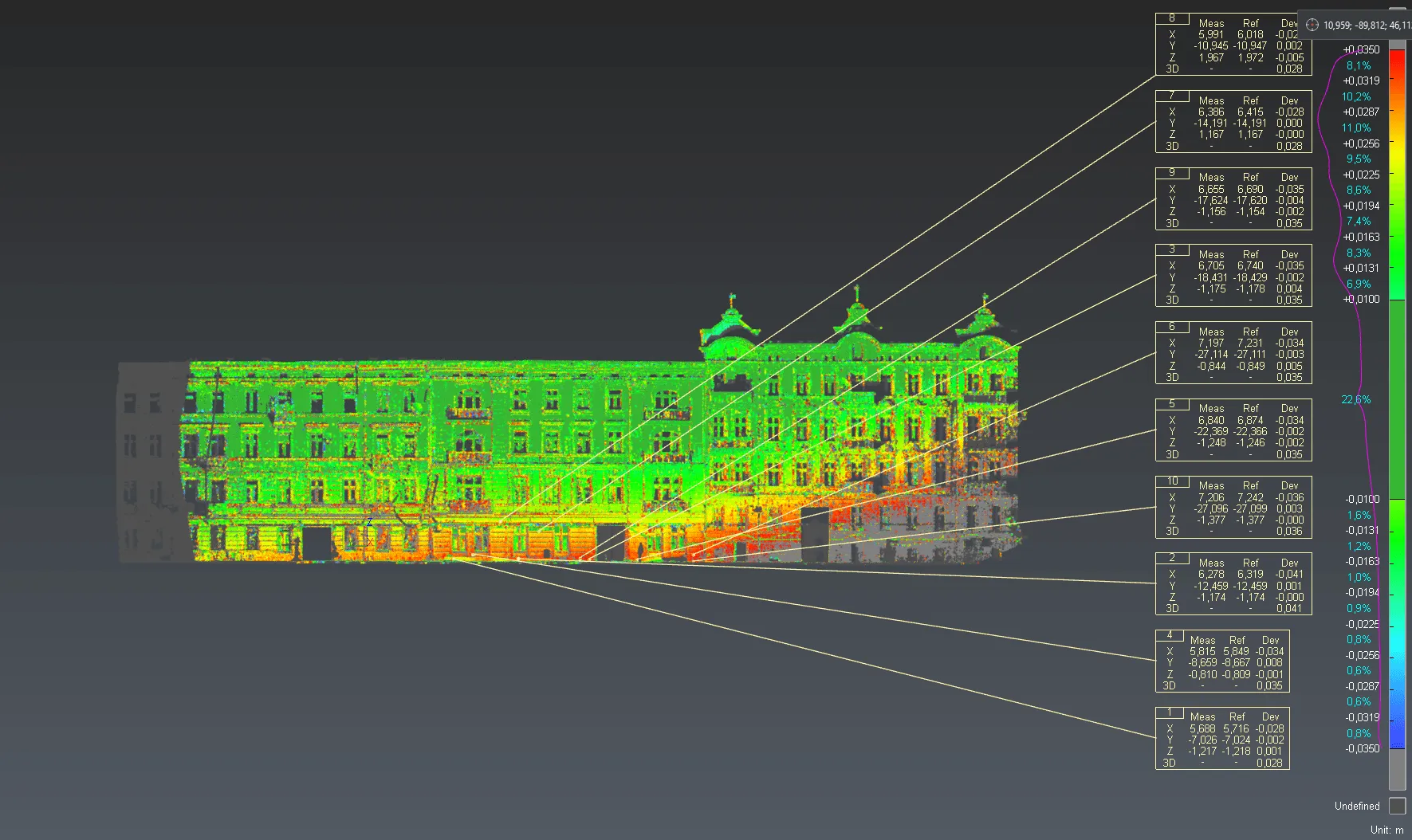
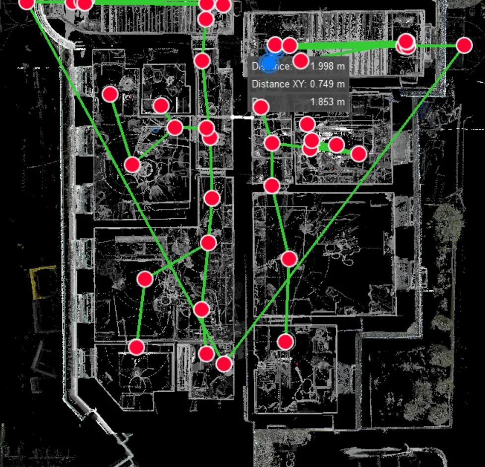
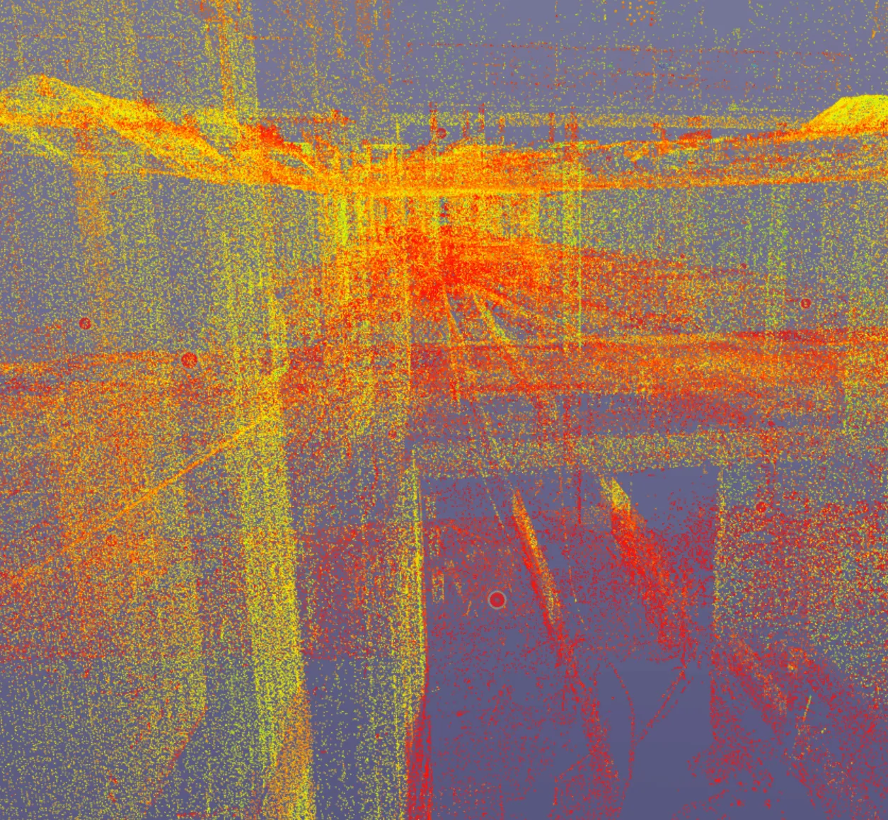
3D scanning of entire objects allows for the creation of accurate spatial models that perfectly map the building structure. It is an ideal solution for inventory, technical analysis, modernization, and renovation. Our technology allows you to quickly and precisely capture even the most complex building structures, reducing working time and increasing result accuracy.
Scanning architectural details
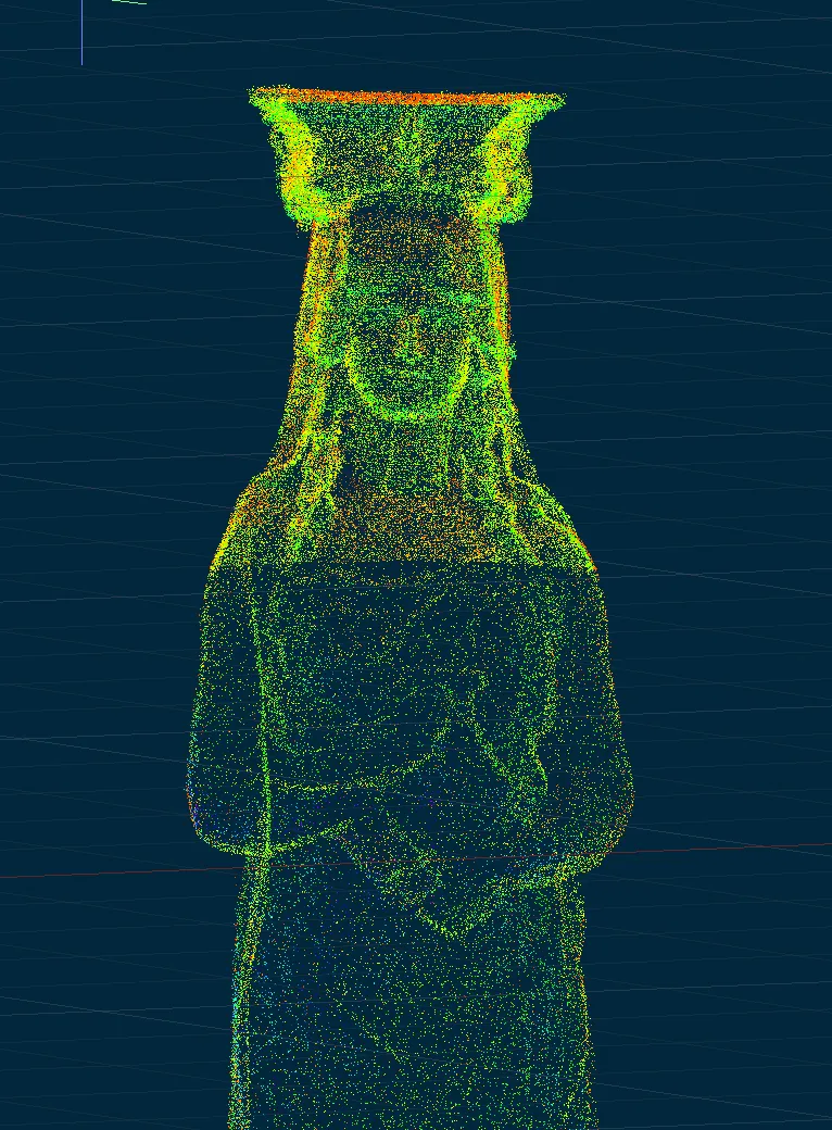
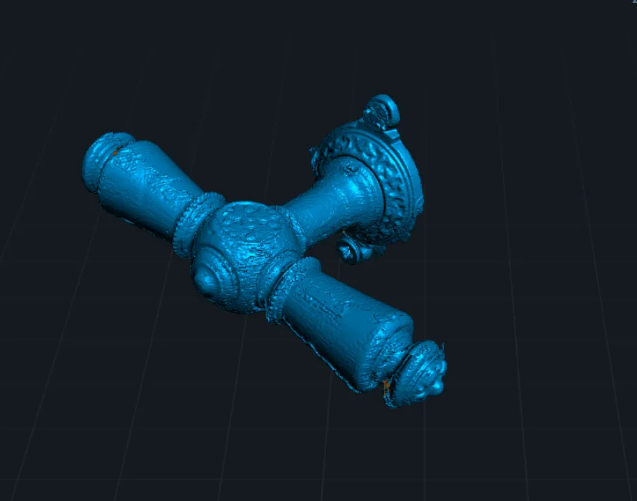
Precise scanning of details, such as stucco, ornaments, and finishing elements, allows for their faithful reproduction in renovation or reconstruction processes. This is crucial in the case of historical monuments, where the accuracy of reproduction is of particular importance to preserve architectural authenticity.
Photogrammetry for inventory
Thanks to photogrammetry using drones, we can quickly obtain visual data of the external parts of buildings. This enables the creation of accurate inventory sketches, orthophotomaps, and 3D models, which are the basis for planning construction and conservation works. Aerial photos processed into advanced photogrammetric algorithms ensure high precision.
Accurate 3D models, Revit models, and .dwg drawings
We offer the creation of detailed 3D models compatible with popular design platforms such as Revit. These models can be used to analyze and design buildings, as well as manage them throughout their lifecycle. Additionally, we provide precise technical drawings in .dwg format, which are essential for architects, engineers, and contractors.
We have top scanner models from Leica Geosystems. The devices guarantee the highest quality and scan accuracy, down to 0.001 m at a distance of 60m.
Allows the execution of technical documentation for existing buildings for construction and architectural purposes. Provides detailed and reliable data to reconstruct the actual state of the building in the shortest possible time.
We offer the ability to customize the project to individual client needs. We make CAD projects, Revit, point clouds, triangle meshes, or precise physical scale models.
Consists of creating three-dimensional models of existing objects. This process is widely used in the revitalization, storage, and reproduction of historic building elements and museum exhibits.
Checking the accuracy of work execution against the project, controlling building settlement, assessing technical conditions, conducting construction expertise, and verticality mapping.
We know and understand the needs of the construction industry. As civil engineers, we select measurement methods that accelerate design and construction workflows.
How does it work?
Thanks to innovative 3D scanning technology, we can transfer objects from the physical to the virtual space. It is a great solution in the process of designing improvements or checking the quality of existing objects. Our company specializes in 3D scanning, offering advanced services for scanning stucco details in historical monuments and engineering mappings. Thanks to modern 3D scanning technologies, we can accurately capture all details, allowing for their precise reproduction or archiving.
Construction Analysis & Metrology
By using metrology-grade scanners, we create ultra-accurate models for Non-Destructive Testing (NDT) Metrology Non-Destructive Testing (NDT) Diagnostic methods enabling non-invasive evaluation of geometry, deflections, cracks, and stresses without altering the tested structure. and structural deflection analysis using FEA methods with accuracy down to hundredths of a millimeter.
Scanning stucco details
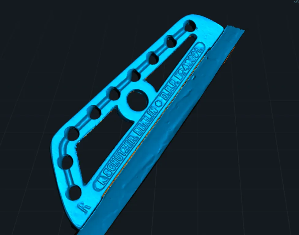
Architectural monuments are often adorned with unique stucco ornamentation. Our 3D scanning produces high-density polygon meshes 3D Geometry Polygon Mesh (3D Mesh) A continuous 3D surface composed of vertices, edges, and triangular facets used for rendering, 3D printing, and FEA simulation. and point clouds Raw Format Point Cloud A dense 3D dataset containing millions of spatial coordinates (X, Y, Z + reflectivity/RGB color) capturing physical reality with millimeter precision. for non-invasive preservation and reproduction.